Slide
Slide

Land Survey

B-PINS utilizes inertial navigation technology, which enables survey crews to work in areas with limited or unavailable GNSS, such as in dense forests, maximizing productivity by eliminating the need for a clear line of sight. With B-PINS, surveyors can achieve precise stakeout locations even in challenging conditions, ensuring accuracy and productivity in applications such as pipeline right-of-way or underground mapping. B-PINS is an innovative solution that offers a reliable, environmentally conscious solution for land survey applications.

Land Survey Applications

Seismic Stakeout

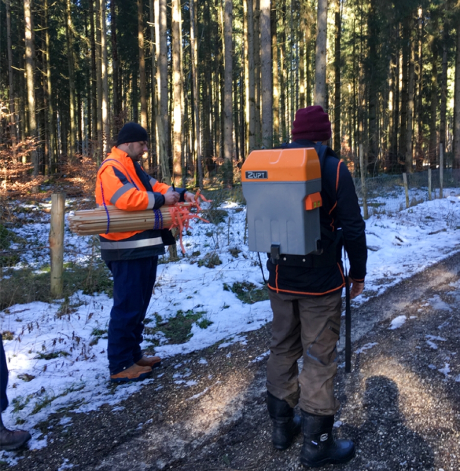
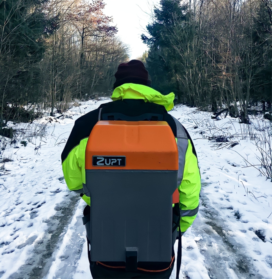
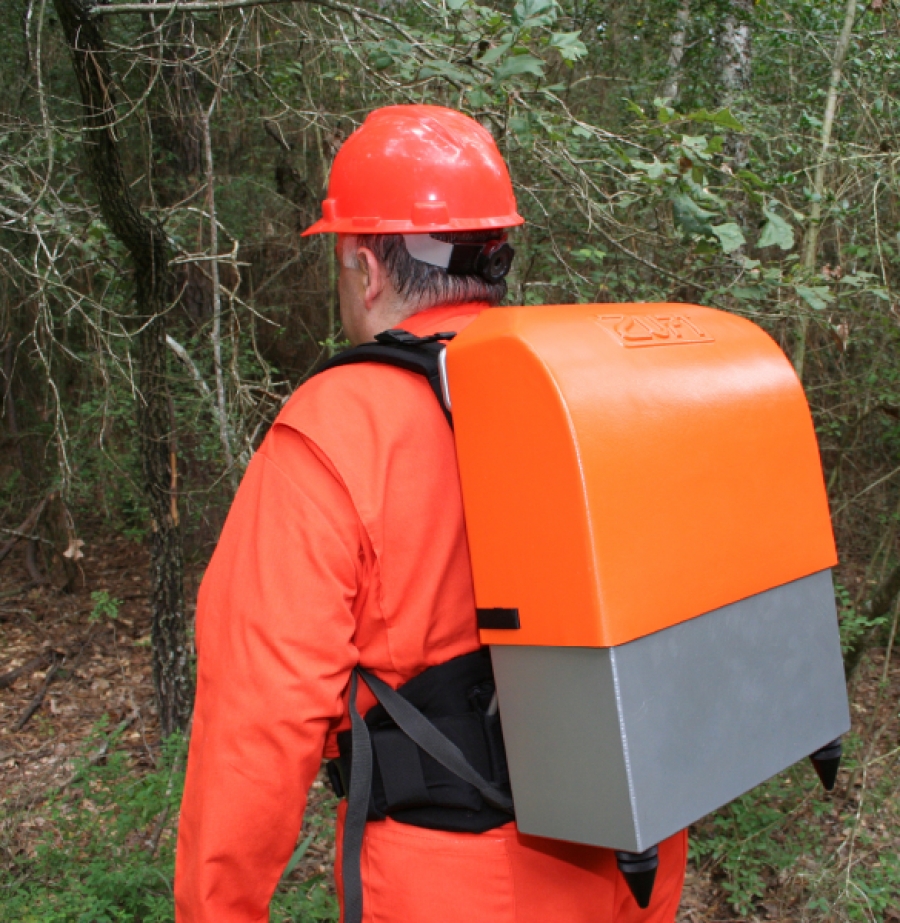
Zupt’s inertial solution, B-PINS, allows survey operations with minimal cutting while significantly increasing the production of field survey crews.

>Read More

Pipeline Right of Way

Zupt’s B-PINS deliver precise stakeout locations in harsh environments during pipeline right of way where conventional survey methods are inefficient or ineffective.

>Read More

Forestry Mapping

Surveys completed with the B-PINS system enable surveys to be completed in environmentally sensitive areas such as in dense forests.

>Read More

Underground/Mine

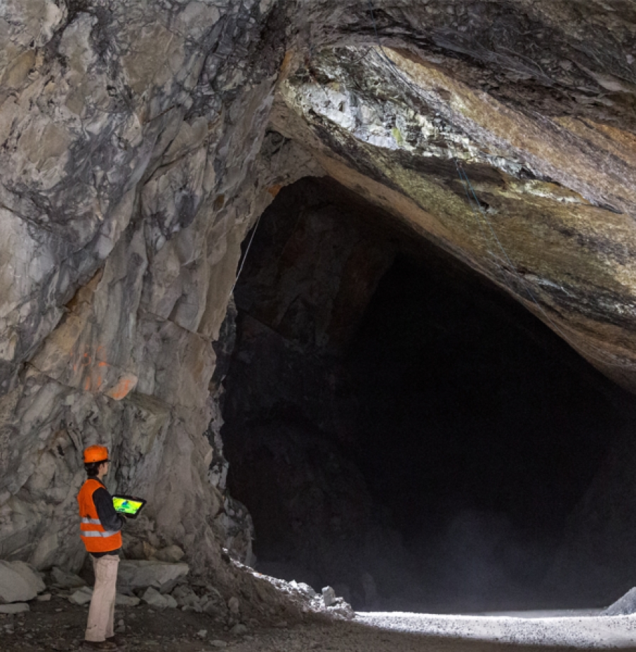
In areas with absolutely no access to GNSS signals, B-PINS is an ideal survey tool to accurately map or navigate through underground areas.
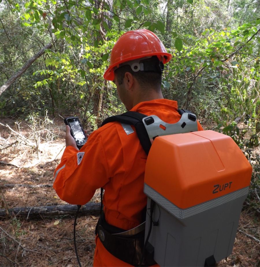
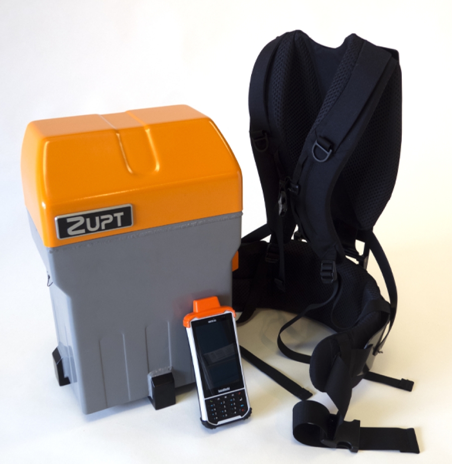
>Read More

Land Survey Products

B-PINS X

B-PINS X is the newest inertial survey tool for land operations.

>Read More

B-PINS V2

B-PINS is a precise survey tool designed to provide accurate navigation in GNSS denied areas with four times the productivity of traditional survey methods.

>Read More

Free Quote Text
Get In Touch

Get in touch with us for any questions or quotes on surveying services and products. We will respond back as soon as we can.