Get In Touch
Get in touch with us for any questions or quotes on surveying services and products. We will respond back as soon as we can.
Maintaining that spatial relationship is critical for understanding what those findings actually mean.
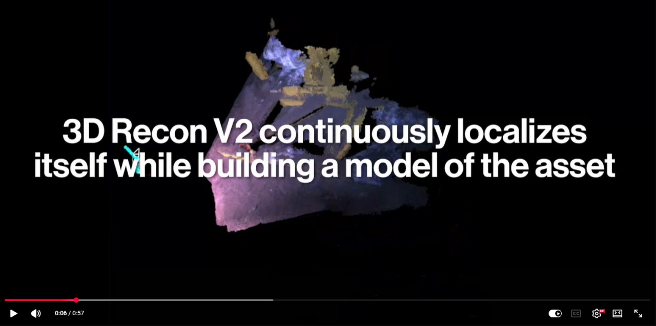
This is where Zupt's 3D Recon V2 takes a different approach.
By combining Visual-Inertial SLAM with real-time 3D reconstruction, the system continuously localizes itself while building a model of the asset.
Features observed on a pipeline, manifold, or subsea structure are tracked and re-observed over time, supporting both localization and reconstruction.
The result is greater confidence that inspection data remains spatially registered to the asset throughout the inspection, providing valuable context for:
🔸Inspection findings
🔸Integrity assessments
🔸Maintenance planning
🔸Engineering decisions
This integrated approach is one of the reasons we developed 3D Recon V2.