Get In Touch
Get in touch with us for any questions or quotes on surveying services and products. We will respond back as soon as we can.
🟧 Coverage gaps only appear during post-processing
🟧 Complex asset geometry hides missed areas
🟧 Rework means additional vessel time
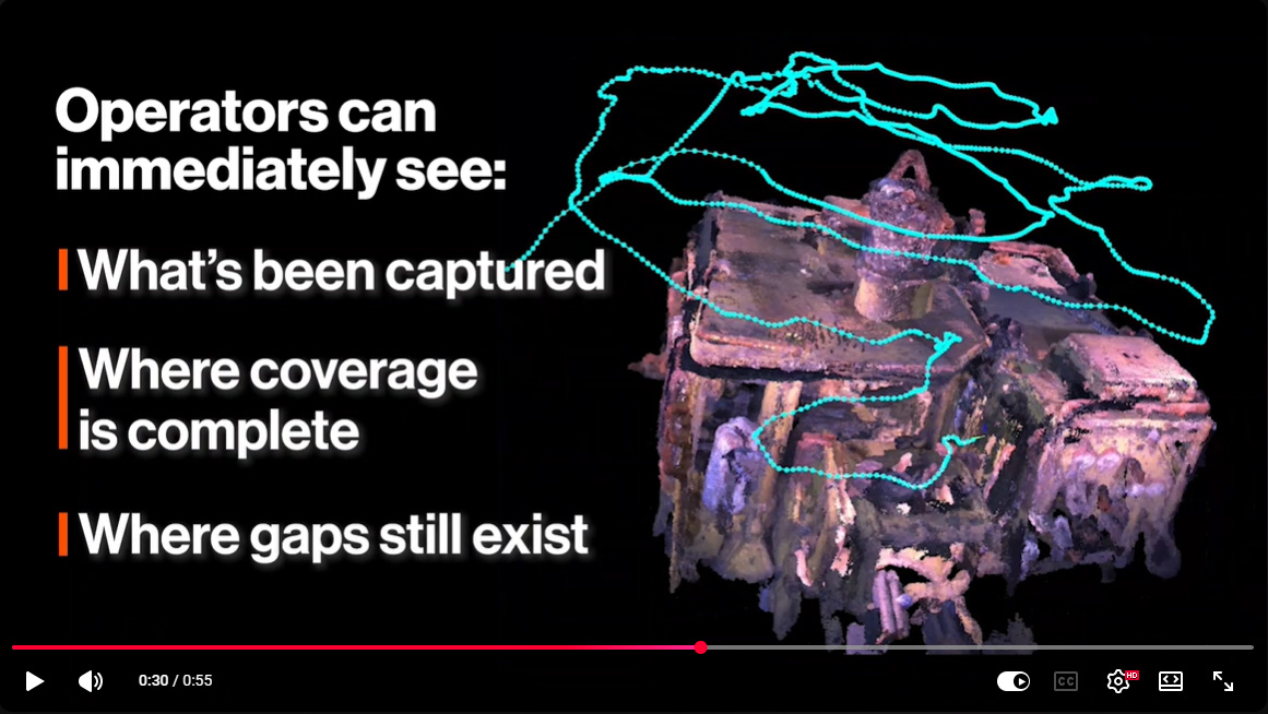
Operators can immediately see:
🟧 What's been captured
🟧 Where coverage is complete
🟧 Where gaps still exist
Result:
🟧 Gaps identified before leaving site
🟧 Reduced rework
🟧 Less offshore time