Get in touch with us for any questions or quotes on surveying services and products. We will respond back as soon as we can.
2021 Year in Review
Who We Are
Our advanced surveying services are used within four main Energy applications: Subsea marine construction, Renewables, Integrity Management, and Land Survey. Beginning with Subsea Marine Construction, we provide cutting-edge services and products for accurate subsea navigation, positioning, and high-resolution modeling. For Renewables, we offer time-saving, contactless solutions for offshore wind installation and inspection. Within Integrity Management, we provide more efficient methods of inspecting existing and newly installed subsea assets for life of field analysis. Finally, in Land Survey, we offer easy-to-use inertial survey tools for precise navigation in areas with limited or unavailable GNSS. All four of these applications share one common goal; to yield efficient projects. With 2021 marking 19 years in the industry, we understand the complexity within your operations and how to add simplicity by employing our services.
Our Goals & Accomplishments
As a company, a continuous goal is to regularly improve and develop next-generation technology to save you time and money. With this drive to innovate, 2021 opened doors for us in the Renewables sector with the U.S. entrance into offshore wind. We embraced this opportunity by adapting our technology onto new platforms encompassing Renewable applications. As an outcome, three of our latest products for Renewables are 3D Recon "Mini," VertiCAM, and HaloCAM.
3D Recon 'Mini': 3D Recon Mini utilizes the same methodology as our full size, high-end subsea modeling system, '3D Recon', only in a compact form designed for several observation class ROVs available in the market. Used to generate high-resolution 3D point cloud models of WTG foundations, transmission line scours, and much more.
VertiCAM: VertiCAM was explicitly designed to eliminate the need to physically mount targets, bracketry, or sensors to a monopile while being installed. VertiCAM automatically detects the monopile in air and provides a real-time verticality readout to the user. The process is quick, efficient, and cost-effective.
HaloCAM: Combining a navigation grade IMU and a high-definition machine vision camera allows HaloCAM to provide a highly accurate pitch and roll of a WTG monopile while monitoring within 2-3 meters subsea. HaloCAM processes the imagery data subsea and provides a verticality measurement to the topside user in real-time.
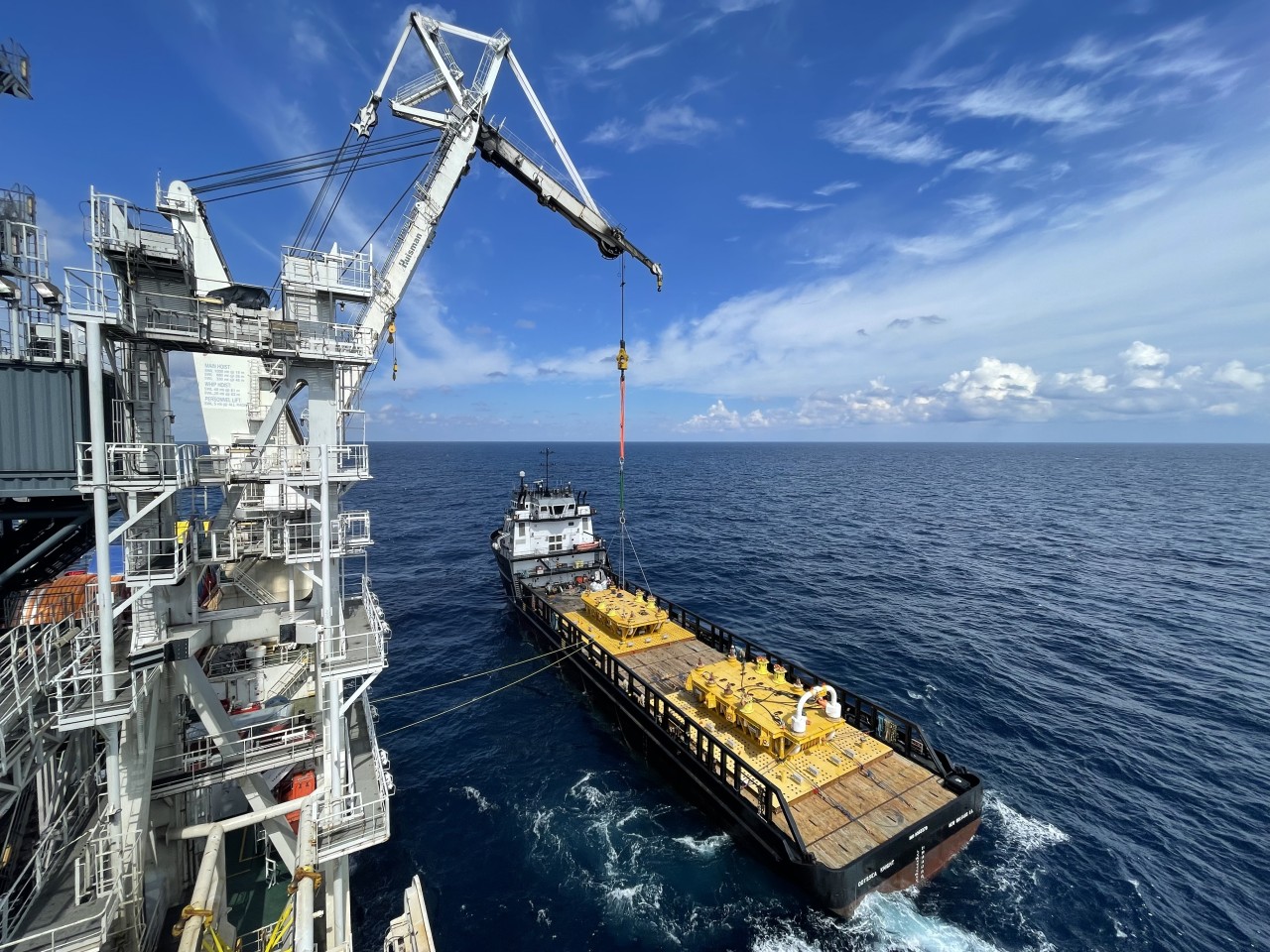
3D Recon completed its first operational campaign in June. After years of designing, testing, and demonstrating to clients, 3D Recon was deployed in the Gulf of Mexico to complete a spool metrology. The metrology data acquisition was completed in under 3 hours, and we provided a high-resolution 3D model and the metrology deliverable within the client's required specifications of +/- 30 mm in range and +/- 0.5° in pitch and roll. This campaign represents a significant achievement for what Zupt believes to be the future of subsea inspection and modeling.
Another goal of 2021 was to continue growing by providing advanced surveying services as custom solutions for new clients. While supporting our ongoing multi-year metrology contract in Angola, we completed inertial metrologies globally for new and existing clients. One of the most significant projects, including multiple inertial metrologies, took place close to our home in the Gulf of Mexico. Growing as a company with new clients directly correlated with the need to grow as a team. This year, Zupt brought on new team members, expanding the company by 67% with new engineering roles (Localization and Perception), field support engineers, and digital marketing.
The Challenges
As we all know, 2021 brought its own set of challenges, with the most prominent and painful challenges resulting from Covid. The main areas to overcome were traveling restrictions, quarantine enforcements, and supply chain shortages. As the main answer to these problems was purely patience, we were able to get creative and conduct 20 Inertial Metrologies with two completed as Remote Metrologies.
Another challenge we faced this year, which is not uncommon, is natural disasters. The most devastating disaster that set back the Oil and Gas industry was in August from the Category 4 Hurricane Ida. As a result of this hurricane, 96% of crude oil production and 94% of natural gas production in the Gulf of Mexico subsequently stopped for weeks. Shortly following Hurricane Ida was Hurricane Nicholas which continued damage to pipelines in the Gulf of Mexico. We were lucky as these hurricanes only set back timelines of our projects, and we could still efficiently complete all scheduled offshore operations.
Opportunities for Next Year
With our jumpstart early this year in the Renewables sector, we will continue to create timesaving technology for offshore wind, inspection, and operations throughout 2022. With the developments of 3D Recon, HaloCAM, and VertiCAM, we will demonstrate the value of our contactless technology as offshore wind expands into the United States.
Another big opportunity in 2022 is to continue to provide Remote Metrology solutions for clients. A Remote Metrology is the same efficient Inertial Metrology solution provided at a lumpsum cost, with no personnel and only a compact spread of equipment mobilized offshore. A big hurdle for remote operations is the client's ability to trust that bandwidth will be available for reliable operations. However, offshore bandwidth is increasing as more and more operations rely on reliable communication onshore. In 2022, Low Eart Orbit (LEO) will exponentially change the remote communication market by permitting a quick transfer of data to and from areas with low connections. Service contractors like us will soon be able to deploy a temporary, standalone LEO satellite communications system that can be mobilized and demobilized with each campaign.
Wrapping Up 2021
We are invested in helping people move towards efficiency through developing technology to revolutionize operations for a simpler future. 2021 was a year that required innovation and creativity to grow. It was arguably one of the most complex years that required unique solutions to add operational simplicity. One truth remains certain despite the ebbs and flows; we make complex technology simple for your project's success.
Looking forward to 2022, we will continue to care about efficient projects for clients as we focus on accuracy and reliability using our technology.


